

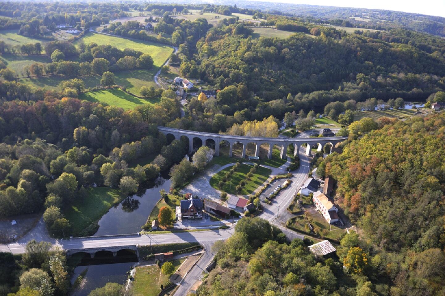
Circuit VTT n°30 Le ruisseau des Mazeaux
Mountain bike
in Glénic
13.0
km
Loop
by mountain bike
1h
Easy
- Departure
- Glénic
-
-
Difference in height
- 240 m
-
-
-
Documentation
- GPX / KML files allow you to export the trail of your hike to your GPS (or other navigation tool)
-
- 240 meters of difference in height
-
- Maximum altitude : 498 m
- Minimum altitude : 351 m
- Total positive elevation : 240 m
- Total negative elevation : -240 m
- Max positive elevation : 94 m
- Min positive elevation : -111 m