

Circuit VTT n°34
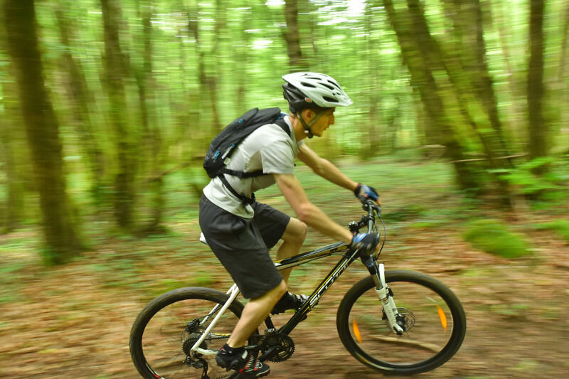
Mountain bike
in Villard
15.4
km
by mountain bike
1h 15min
Medium
-
Departure from Villard town hall. This route takes up part of route no. 33, heading north to visit the river Creuse. The descent before Gué Cornu should be made with care. If you stop at the water's edge, beware of loose dogs.
- Departure
- Villard
-
-
Difference in height
- 195.653 m
-
-
-
Documentation
- GPX / KML files allow you to export the trail of your hike to your GPS (or other navigation tool)
-
- 196 meters of difference in height
-
- Maximum altitude : 355 m
- Minimum altitude : 253 m
- Total positive elevation : 196 m
- Total negative elevation : -196 m
- Max positive elevation : 64 m
- Min positive elevation : -41 m