

Circum Evahonum
Walking, Cultural, Historical
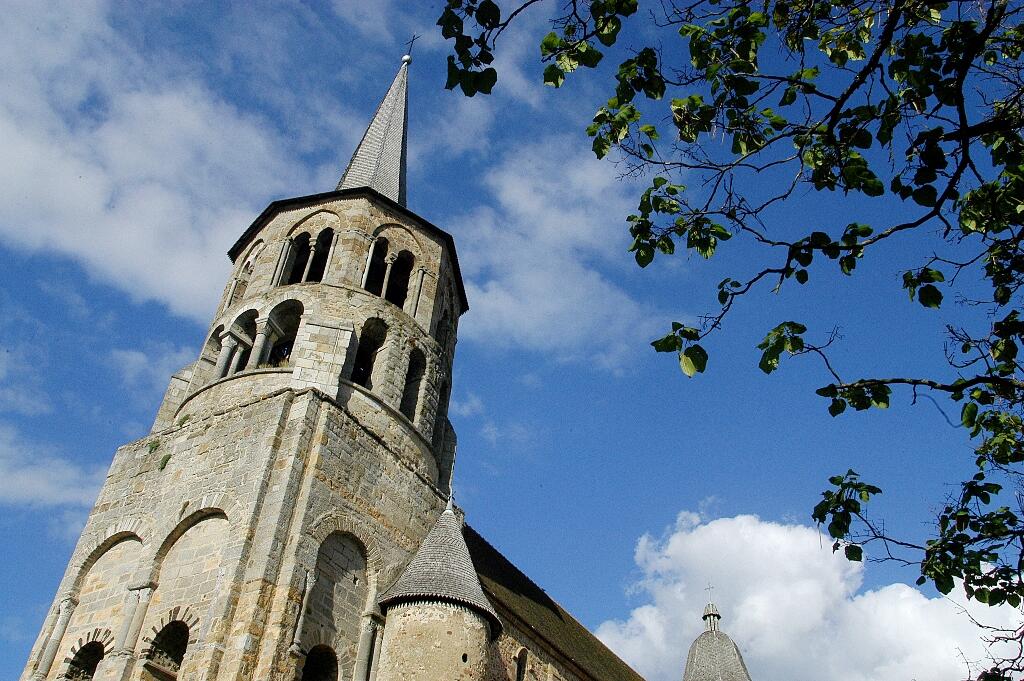
in Évaux-les-Bains
6.2
km
Loop
on foot
1h 30min
Easy
-
From the suburbs to the paths, this urban circuit allows you to discover the small built heritage and the architectural heritage of the Evahonian city.
- Departure
- Évaux-les-Bains
-
-
Difference in height
- 101.667 m
-
-
-
Documentation
- GPX / KML files allow you to export the trail of your hike to your GPS (or other navigation tool)
-
- 102 meters of difference in height
-
- Maximum altitude : 466 m
- Minimum altitude : 387 m
- Total positive elevation : 102 m
- Total negative elevation : -102 m
- Max positive elevation : 43 m
- Min positive elevation : -44 m