

Entre Tardes et Voueize
Walking
in Chambon-sur-Voueize
8.8
km
Loop
on foot
1h 30min
Easy
-
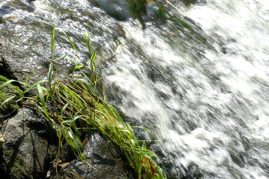
You will walk from one river to the other following the valleys, which offer the view of an isolated valley or beautiful views over the valleys.
- 160 meters of difference in height
-
- Maximum altitude : 409 m
- Minimum altitude : 329 m
- Total positive elevation : 160 m
- Total negative elevation : -160 m
- Max positive elevation : 68 m
- Min positive elevation : -62 m