

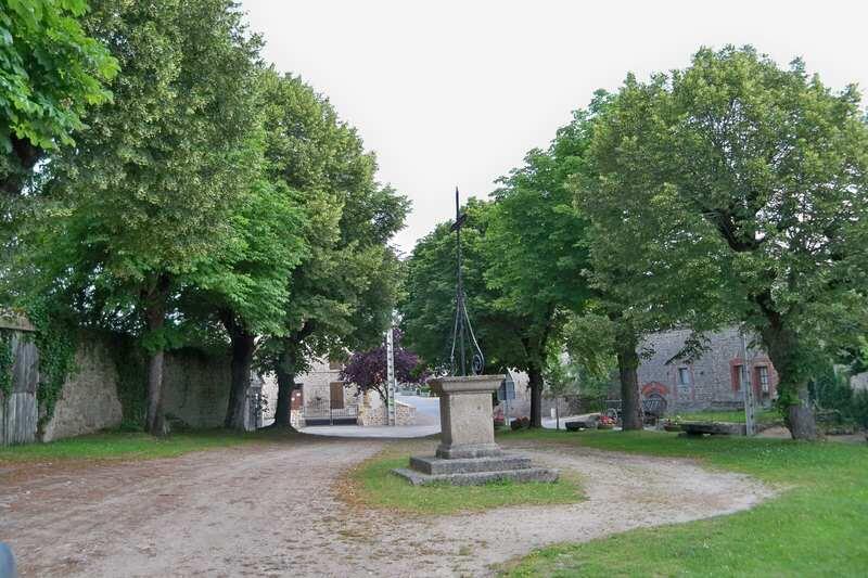
Saint-Julien-Le-Châtel et son patrimoine
Walking, Cultural
in Saint-Julien-le-Châtel
1.2
km
Loop
on foot
1h
Easy
- Departure
- Saint-Julien-le-Châtel
-
-
Difference in height
- 12.3333 m
-
-
-
Documentation
- GPX / KML files allow you to export the trail of your hike to your GPS (or other navigation tool)
-
- 12 meters of difference in height
-
- Maximum altitude : 435 m
- Minimum altitude : 426 m
- Total positive elevation : 12 m
- Total negative elevation : -11 m
- Max positive elevation : 3 m
- Min positive elevation : -7 m