

Circuit pédrestre N°64 CC : Sentier de découverte des gorges du Thaurion
Walking, Natural
in Thauron
-
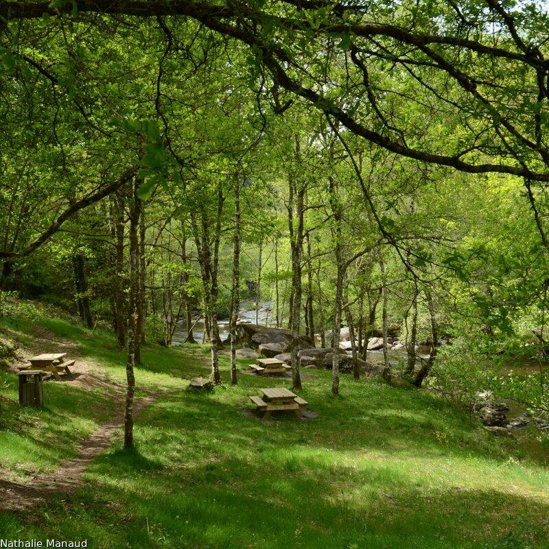
To the sound of the Thaurion cascading between the rocks that dot its bed, you'll follow its course through a leafy forest, encountering an ancient bridge, heather moorland and monumental chaos. You can also observe the discreet fauna that gravitates around the Thaurion, whose ecological richness is recognized (wagtails, diving cuckoos, traces of European otters, etc.).
- Departure
- Thauron
-
-
Difference in height
- 25.3333 m
-
-
-
Documentation
-
- Circuit N°64 Sentier d'interprétation des gorges du Thaurion.pdf_1
- Sentier de découverte des gorges du Thaurion
- Sentier de découverte des gorges du Thaurion
-
- 25 meters of difference in height
-
- Maximum altitude : 473 m
- Minimum altitude : 444 m
- Total positive elevation : 25 m
- Total negative elevation : -25 m
- Max positive elevation : 25 m
- Min positive elevation : -17 m
