

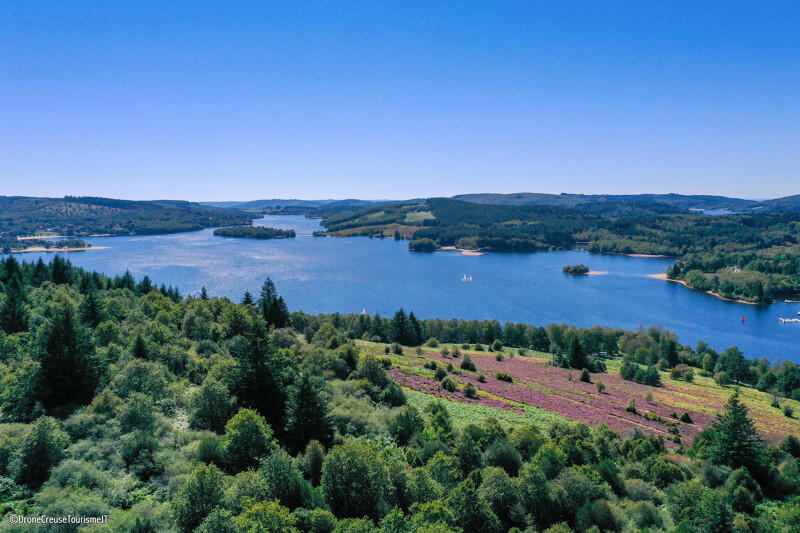
Sentier d'interprétation de la Lande du Puy La Croix
Walking, Natural
in Royère-de-Vassivière
2.2
km
Loop
on foot
1h 40min
Easy
- Departure
- Royère-de-Vassivière
-
-
Difference in height
- 65.6667 m
-
-
-
-
-
Documentation
-
- Sentier d'interprétation de la Lande du Puy La Croix
- Sentier d'interprétation de la Lande du Puy La Croix
-

-
-
Accepted customers
-
- 66 meters of difference in height
-
- Maximum altitude : 722 m
- Minimum altitude : 655 m
- Total positive elevation : 66 m
- Total negative elevation : -66 m
- Max positive elevation : 57 m
- Min positive elevation : -56 m