

Sentier d'interprétation des landes de Gioux
Walking, Natural
in Gioux
12.0
km
Loop
on foot
4h
Easy
-
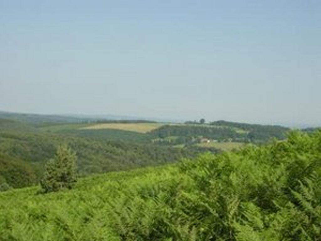
This trail takes you on a journey of discovery through the different aspects of the Gioux moorlands: the discovery of a natural environment typical of the Millevaches plateau, namely heather moorlands. Topics covered along the trail: the origins of Gioux, heather moors, landscape evolution, peat bogs?
Trail starts at the Gallo-Roman remains of Maisonnière. Green signposting. Two trails available: trail 1 ? approx. 12km and 4h walk, trail 2 ? 5km approx. and 2h walking time. Guide booklet...This trail takes you on a journey of discovery through the different aspects of the Gioux moorlands: the discovery of a natural environment typical of the Millevaches plateau, namely heather moorlands. Topics covered along the trail: the origins of Gioux, heather moors, landscape evolution, peat bogs?
Trail starts at the Gallo-Roman remains of Maisonnière. Green signposting. Two trails available: trail 1 ? approx. 12km and 4h walk, trail 2 ? 5km approx. and 2h walking time. Guide booklet available at Gioux town hall, at the Maison du PNR and at the Felletin and Aubusson Tourist Offices.
- Departure
- Gioux
-
-
Difference in height
- 275.335 m
-
-
-
Documentation
- GPX / KML files allow you to export the trail of your hike to your GPS (or other navigation tool)
-
- 275 meters of difference in height
-
- Maximum altitude : 822 m
- Minimum altitude : 692 m
- Total positive elevation : 275 m
- Total negative elevation : -275 m
- Max positive elevation : 77 m
- Min positive elevation : -80 m