

Terre de tuiliers
Walking
in Chéniers
4.0
km
Loop
on foot
1h 10min
Easy
-
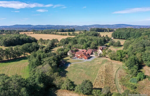
The start of the trail, located in the ecomuseum parking lot, allows you to immerse yourself quickly in the landscapes of the Creuse Valley. During the walk, you'll discover a landscape of moorland and bocage linked to clay, and what men have done by visiting the small village of Le Temple. A visit to the eco-museum before or after the walk will give you a better understanding of how clay is worked and how this landscape has been shaped by man, particularly since the early 19th century.
- 50 meters of difference in height
-
- Maximum altitude : 377 m
- Minimum altitude : 333 m
- Total positive elevation : 50 m
- Total negative elevation : -51 m
- Max positive elevation : 18 m
- Min positive elevation : -38 m