

Circuit de Pallier
Walking, Mountain bike, Natural
in Gentioux-Pigerolles
-
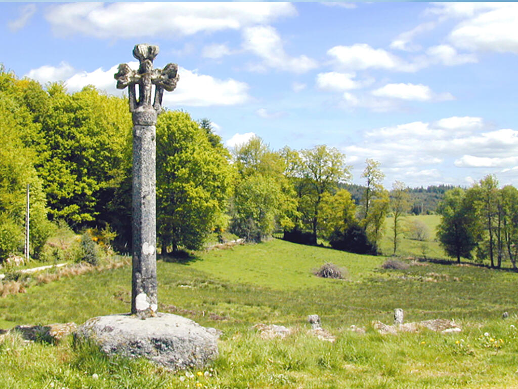
Dive into the history of the Templars who built a chapel in Pallier in the 12th century. This one offers a very beautiful wall-belfry façade, whose door framed by two buttresses is surmounted by a pointed arch and a tympanum with a 14th century coat of arms. Behind the chapel, there is a cemetery with tombstones decorated with a "double besantée" cross, which has a small circular geometric figure.
- Departure
- Gentioux-Pigerolles
-
-
Difference in height
- 174 m
-
-
-
Documentation
- GPX / KML files allow you to export the trail of your hike to your GPS (or other navigation tool)
-
- 174 meters of difference in height
-
- Maximum altitude : 857 m
- Minimum altitude : 771 m
- Total positive elevation : 174 m
- Total negative elevation : -188 m
- Max positive elevation : 58 m
- Min positive elevation : -56 m