

Circuit pédestre : La Font du Beau
Walking
in Lourdoueix-Saint-Pierre
21.6
km
Loop
on foot
5h 30min
Hard
-
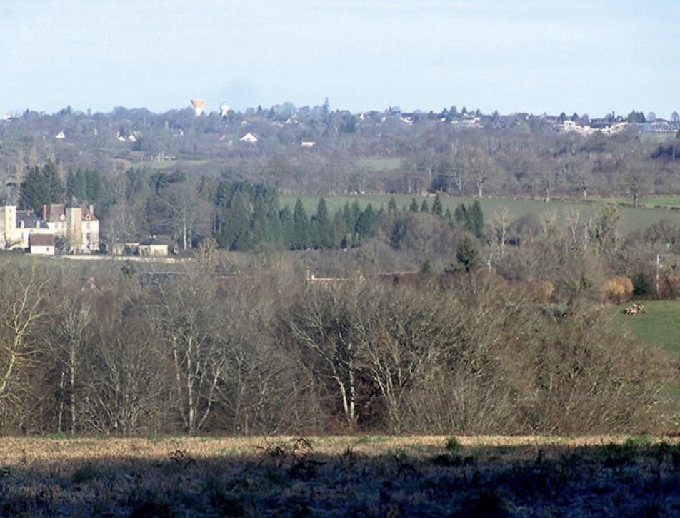
On the edge of the Indre, adjacent to Aigurande, the commune features 3 very different landscape units: to the west, the steep-sided valley of La Petite Creuse, overlooked by the village of Lignaud, with traces of a very ancient past; in between, a tightly-knit, wooded, undulating bocage, criss-crossed by numerous streams, with beautiful vistas. The area is dotted with numerous villages, some of them quite substantial, such as Lignaud and Les Chaumes.
A surprising number of village crosses...On the edge of the Indre, adjacent to Aigurande, the commune features 3 very different landscape units: to the west, the steep-sided valley of La Petite Creuse, overlooked by the village of Lignaud, with traces of a very ancient past; in between, a tightly-knit, wooded, undulating bocage, criss-crossed by numerous streams, with beautiful vistas. The area is dotted with numerous villages, some of them quite substantial, such as Lignaud and Les Chaumes.
A surprising number of village crosses and pathways, in stone, wood or iron, dot the commune.
An unusual feature: the commune has two Monuments aux Morts (war memorials), one in the village and one in the hamlet of Villechiron.
The writer George Henry (1896-1906), whose real name was Henriette Jeanne Bruner, was a regular visitor to the hamlet of Piodon.
- Departure
- Lourdoueix-Saint-Pierre
-
-
Difference in height
- 282.333 m
-
-
-
Documentation
- GPX / KML files allow you to export the trail of your hike to your GPS (or other navigation tool)
-
- 282 meters of difference in height
-
- Maximum altitude : 419 m
- Minimum altitude : 302 m
- Total positive elevation : 282 m
- Total negative elevation : -282 m
- Max positive elevation : 55 m
- Min positive elevation : -59 m